Location based technology is now being used to be able to display the length of time major lines will take.
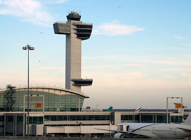
One of the world’s largest airports – the busiest one in New York – is now using geolocation beacons to be able to provide people with the actual wait times that they will face when they enter into a major lineup.
This new system will be powered by BlipTrack beacons from BLIP Systems, which is based in Denmark.
This geolocation technology beacon installation was put into place by Lockheed Martin. This system has been implemented with the intention of making it easier for passengers to make through Terminal 4 at JFK Airport. Thirteen new screens have been installed in order to display estimated processing times. These large-size screens are prominently displayed and have been installed at the checkpoints for TSA Security and Customers and Border Protection. There is also an indoor taxi lineup display.
The geolocation beacons make it possible for continual updates to be presented to travelers.
 According to the JFKAT vice president, Daryl Jameson, “It continuously updates”. JFKIAT is the company behind the operation of Terminal 4. So far, people are responding well to having the information available to them, as they know how long they will have to wait in the lines, and aren’t left wondering. As lineups aren’t an activity that most people enjoy, this “signage helps to manage expectations.”
The beacons work by conducting anonymous tracking of the mobile devices of passengers as they make their way through the airport. This way, while the individuals aren’t identified, the length of time that they spend in certain processing locations can be determined. The BlipTrack solution detects devices running on WiFi or Bluetooth and that are in “discoverable” mode, such as in tablets and smartphones.
Once one of these devices makes its way past one of the geolocation beacons, the beacon records the mobile device’s non-personal unique ID (it’s MAC address), which is then encrypted and time stamped. When that device is identified once again at other beacon locations, patterns among travelers can be established so that wait and travel times can be measured.

 According to the department’s announcement through Helen Owens, its assistant secretary of data policy, who spoke to a parliamentary committee, the amount currently spent every year on the collection of geospatial data is estimated to be about $200 million.