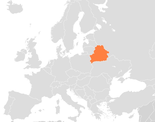
By the end of the year, the goal is to have 85 percent of the country’s territory accurately covered.
According to a recent press release issued by the State Property Committee of Belarus, up to 85 percent of the territory of that country is going to have been covered by its precise geolocation system by the close of this year.
The press release explained that there will be additional tech put into place to accomplish this goal.
The intention is to add more continuously operating reference stations (CORS) to the country throughout the remainder of the year, for the purpose of increasing the total number to 90. This will make it possible to create geolocation coverage of up to 85 percent of the territory of the country. At the end of last month, the test operation of 17 of the CORS was brought to completion. Now that the testing phase is complete, they will be commissioned by the State Property Committee’s Belaerokosmogeodeziya enterprise.
The goal of this project is to provide accurate geolocation technology for a range of different purposes.
 For instance, the satellite technology development will provide geodesic measurements as well as navigation in the country and land surveying tools. That said, the primary goal of the location based tech service is to be able to use a global satellite precise positioning system in order to obtain the heights and coordinates of various specific locations to improve the accuracy and ease of land surveying projects.
In this way, it will become more efficient to determine land plot borders in fields, to identify boundary markers and to understand exactly where city limits reach. Moreover, it will also be helpful to local aerial photography centers in the region that require specific coordinates before they obtain the images they require.
The geolocation system that is being established in Belarus will be able to create coordinates with precision to within 1 to 5 centimeters. The design of the system is meant to offer data from the coordinates to a range of different registries, such as those used for forestry management, water management, city planning, territory planning and other forms of environmental survey, in addition to those responsible for precision farming, civil engineering and other operation types.

