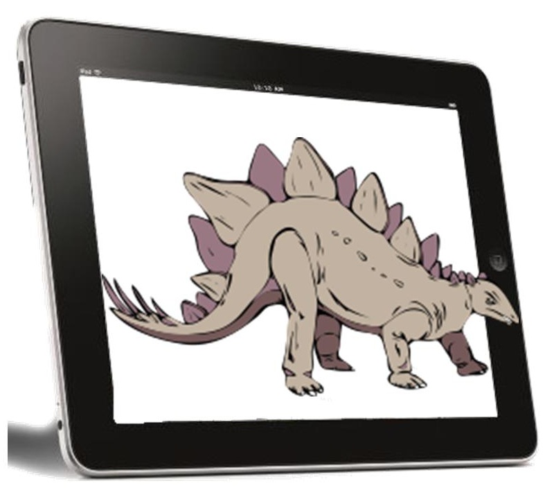
 Virginia Tech art groups are working together to provide children with a unique Earth Day experience.
For Earth Day, a number of art groups at Virginia Tech have collaborated to use augmented reality to offer children a unique and fascinating experience for learning about creatures from pre-historic times.
The DinoDig involved a form of technology enhanced scavenger hunt experience.
The children visiting Virginia Tech over the weekend were able to use an augmented reality application that used location based technology to provide kids with a scavenger hunt that was enhanced by smartphones and tablets. This occurred before the “Dinosaur Petting Zoo” that was also held.
The augmented reality app allowed the kids to play the role of a paleontologist on a dig site.
The Virginia Tech app was selected to allow for the creation of the DinoDig based on FreshAiR. It was created by an associate professor from Redford, as well as his team. It uses augmented reality to allow the user to interact with the environment directly around him or her. It makes use if the device camera feature as a form of lens.
By hovering it over various objects at the site, the augmented reality technology allows the user to view more information about them. The app works because an AR map of the site had already been created. This allowed the geolocation technology to tell the DinoDig app exactly where the user was located and what he or she was viewing.
The app gave the scavenger hunt participants the ability to take part in a high tech experience that provided the chance to learn a great deal. They discovered facts related to dinosaurs when the camera features were held over the displays.
In order to complete the augmented reality scavenger hunt, the children were required to walk less than a mile over a period of approximately thirty minutes. The purpose was to give the kids a new way to experience their surroundings in order to capture their attention and their imaginations. Furthermore, each stop featured an additional interactive element, which consisted of a challenge of some form, or a trivia question. This allowed the child to earn virtual clues and dinosaur bones for the location.

 A startup company is helping to make learning more exciting and fun for children.